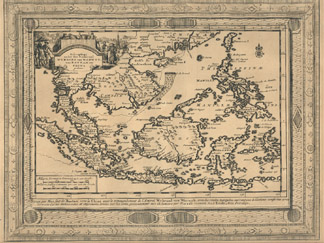
The examples shown here are maps of the Pacific Islands held in the Maps Special Collection. Click on the thumbnail images to see a larger version of the maps. All maps are available for viewing during Special Collections business hours.
Aa, Pieter van der, 1659-1733. : Scheeptogt onder den Ammiraal Wybrand Van Warwyk,van Bantam na China Gedaan. Lieden : [Aa?, 172-?]. Call number: G 8000 1720z .A12
Clüver, Philipp, 1580-1622. Indiae Orientalis et Insularum Adiacentium Antiqua et Nova Descriptio. [Wolfenbüttel? : Per I Bunonem?, 1667?]. Call number: G 8000 1667 .C58
Note: From Cluver'sIntroductionis in Universam Geographiam tam Veterem Quam Novam, 1667.
Galvão, Antonio, d. 1557. : D'Indianaaze Landschappen. Leyden : Pieter vander Aa, [1729?]. Call number: G 800 1729 .G35
This map is also featured on the Maps of Burma page.
Indes Orientales, ou du Gange. [ S.l. : s.n., 16--?]. Call number: G 7625 1600z .I52
Kitchin, Thomas, d. 1784. An Accurate Map of the East Indies, From the Latest Improvements and Regulated by Astronomical Observations. [London? : R. Sayer & J. Bennett?, 177-?]. Call number: G 7625 1770z .K57
Mercator, Gerhard, 1512-1594. India Orientalis. [Amsterdam : Ianssen, 1630]. Call number: G 7400 1630 .M47
From Mercator'sAtlas Minor, 1630.
This map is also featured on the Maps of Burma page.
Moll, Herman, d. 1732. The East Part of India, or, India Beyond the R. Ganges. [London?: Printed for T. Bowles and J. Bowles?, 1730?]. Call number: G 8005 1730 .M65
From Moll'sAtlas Minor? 1732?
This map is also featured on the Maps of Burma page.
Ptolemy, 2nd cent. India Orientalis. . . [Colonia : P. Keschedt, 1608]. Call number: G 7401 .S2 1608 .P78
Notes : From Ptolemy's (?)Geographiae Universae, 1608.
In the lower right corner: Coloniae formulis Jani Buxmacheri, 1600.
This map is formed from two sheets of paper seamed together. There is text in Latin about India on the verso.
Ptolemy, 2nd cent. India Tercera Nuova Tavola. [Venetia: Appresso Vincenzo Valgrisi, 1561]. Call number: G 8001 .S2 1561 .P76
Notes : From Valgrisi'sLa Geografia di Claudio Tolomeo, 1561.
This map is formed from two sheets of paper seamed together. There is text in Italian on the verso on "India Tercera."
Ptolemy, 2nd cent. : Tabula Asiae XI. [Venetia : Appresso Vincenzo Valgrisi, 1561]. Call number: G 7626 .S2 1561 .P76
Notes : Revised and edited by Girolamo Ruscelli. From Valgrisi'sLa Geografia di Claudio Tolomeo, 1561.
This map is formed from two sheets of paper seamed together. There is text in Latin on the verso.