The examples shown here are maps of South America held in the Maps Special Collection. Click on the thumbnail images to see a larger version of the maps. All maps are available for viewing in person whenever Special Collections is open.
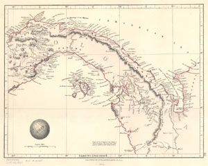
Arrowsmith, Aaron, 1750-1823. Darien. London : Samuel Arrowsmith, 1828. Call number: G 4870 1828 .A77
From Arrowsmith's Outline of the World, 1828. Darien is located along the northern coast. The country indicated is Colombia because this map of Panama dates to before it became an independent country.
The original size of the map was too large for the scanner, so two sections were seamed together using Photoshop.
John Bartholomew and Son. South America. Philadelphia : T. Elwood Zell, Davis, and Company, [1863-1885?] Call number: G 5200 1900 .J63
The date on this map is uncertain. Since Colombia is listed as the "United States of Colombia," the map probably was created before 1885, when Colombia became the Republic of Colombia. It was called New Granada [Grenada]from1538 until 1863. Colombia lost Panama as a colony in 1903.
Reference: Infoplease.com. "Colombia." Available at: http://www.infoplease.com/ipa/A0107419.html [Oct. 9, 2003].
The Gallapagos [sic] Islands, Discovered and Described by Capt. Cowley in 1684. [S.l., s.n., 1800s?] Call number: G 5302 .G3 1684 .G35
The upper right corner indicates "Vol. I, Page 79" and it is possible that this map was originally part of a 19th century book or atlas.
Kitchin, Thomas, d. 1784. South America, Drawn from the Best Authorities: Regulated by Astron. Observat. [S.l., s.n., 1790?] Call number: G 5200 1790z .K57
Mercator, Gerhard, 1512-1594. Fretum Magellani. Dordrecht : A. Bottius, 1610. Call number: G 5332 .T5 1610 .M47
From Mercator's Atlas Minor, 1610. Text in Latin on the verso.
Moll, Herman, d. 1732 : A Map of Terra Firma, Peru Amazoneland, Brasil, & the North Part of La Plata. London : T. Bowles and J. Bowles, [1732?]
Moll, Herman, d. 1732. : Chili, Patagonia, La Plata, and Ye South of Brasil.London : T. Bowles and J. Bowles, [1732?]
Both maps are from Moll's Atlas Minor, 1732? Call number: G 5200 1732 .M652
Although the two maps appears as though they are two halves, they are from two different parts of Moll's book. The northern section is from Volume 3, page 233 while the southern section is from Volume 3, page 367.
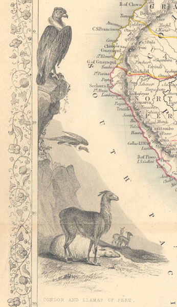
Rapkin, J. South America. London: John Tallis and Company, 1851. Call number: G 5200 1851 .R36
Vignettes by J. Marchant and engraved by J. Rogers.
Detail of map
Young, J. H. (James Hamilton). No.10 Map of South America, Engraved to Illustrate Mitchell's School and Family Geography. Connecticut : S. Augustus Mitchell, 1839. Call number: G 5200 1839 .Y68